TL;DR
GeoSpy, developed by Graylark, has added an AI model called SuperBolt that the company says can match photos to coordinates with accuracy down to about one meter. The system pairs broad geoestimation with dense image matching to speed visual investigations such as recovering stolen vehicles.
What happened
Graylark described advances in its GeoSpy photo-geolocation suite, highlighting a new AI component named SuperBolt that the company says reduces location error from kilometers to as little as one meter. The earlier GeoSpy system produced general location estimates across ranges of roughly 1–25 km; SuperBolt is presented as a precise matching layer that operates against dense, geotagged image databases. GeoSpy combines an initial estimation step—useful for identifying country, region or city-level candidates—with a high-resolution matching phase that compares a query photo to millions or billions of reference images. The developers reported overcoming challenges such as scaling reference datasets, handling repainted buildings, low-light or blurry imagery, and compressing terabytes of data into smaller reference indexes. A provided example described matching a marketplace car listing to exact latitude and longitude in San Francisco using the matching tool.
Why it matters
- Potentially speeds up visual investigations by narrowing searches from city-level to meter-level coordinates.
- Enables locating vehicles or scenes from social media or marketplace images without relying solely on eyewitnesses or GPS.
- Automates parts of a workflow that previously required extensive manual image searching and verification.
- Designed to operate under varied conditions (low light, blurring, altered building appearances), which can increase the number of usable leads.
Key facts
- GeoSpy initially provided geoestimation accuracy in the 1–25 km range.
- SuperBolt is introduced as a new AI model aimed at matching photos to coordinates with accuracy close to 1 meter.
- The system uses a two-step workflow: estimation for broad location and matching against dense geotagged databases for precise coordinates.
- Geomatching depends on extensive reference imagery from mapping services and local coverage that can be city-, county-, or state-sized.
- Graylark said it developed methods to convert potentially terabytes of imagery into much smaller searchable indexes.
- Reported technical challenges addressed include scaling to billions of reference images and robustness to repainting, blur, and low-light images.
- A real-world example in the source matched a Craigslist vehicle listing in San Francisco to exact coordinates using SuperBolt.
What to watch next
- Wider adoption by law enforcement agencies and timelines for deployment: not confirmed in the source
- Any public audit or third-party validation of SuperBolt's claimed 1-meter accuracy: not confirmed in the source
- Privacy, legal and policy responses to high-precision photo geolocation tools: not confirmed in the source
Quick glossary
- Geoestimation: A technique that infers a photo's general location (city, region, or country) from visual cues such as architecture, vegetation, and scene composition.
- Geomatching: Comparing a query image against a dense database of geotagged photos to find an exact or very close location match.
- Geotagged image: A photograph that includes geographic coordinates (latitude and longitude) in its metadata or is linked to a known location.
- Reference database: A large store of geotagged images used as the comparison set for matching query photos to physical locations.
- AI model: A trained algorithm that processes input data (such as images) to produce predictions or classifications, including location estimates.
Reader FAQ
Can GeoSpy locate any photo to within one meter?
The source states that SuperBolt can produce location tracking with accuracy as close as one meter, but performance will depend on database coverage and image quality.
Does GeoSpy require a large reference image database?
Yes. The matching approach relies on dense geotagged image databases whose coverage determines where precise matches are possible.
Is GeoSpy a single-step tool or does it use multiple methods?
GeoSpy uses a two-step workflow: estimation to find a general area and matching against a reference dataset to pinpoint coordinates.
Is GeoSpy already in use by law enforcement?
not confirmed in the source
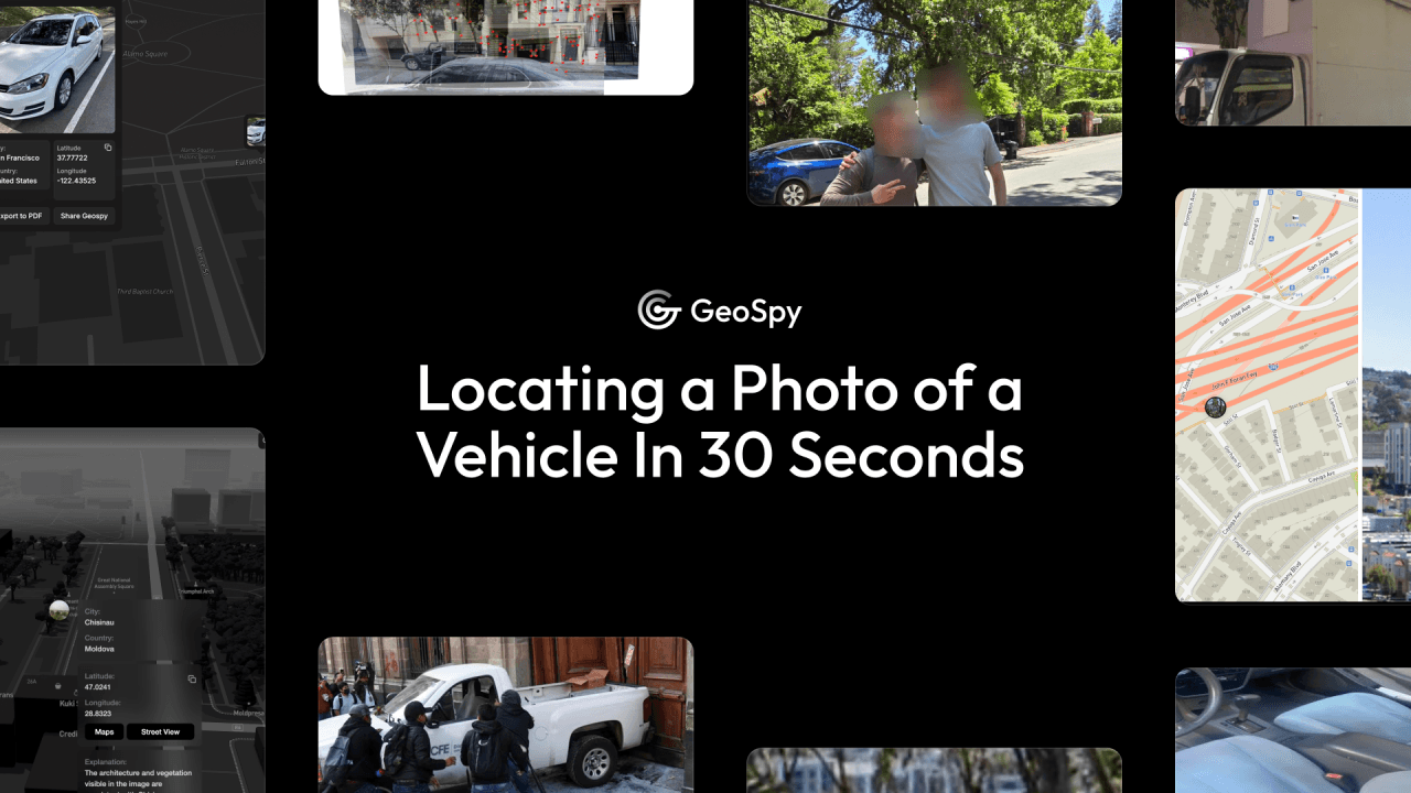
Articles Locating a Photo of a Vehicle In 30 Seconds With GeoSpy April 19, 2025 Vehicle theft remains a persistent and costly challenge for law enforcement and communities alike. Despite…
Sources
- Locating a Photo of a Vehicle in 30 Seconds with GeoSpy
- GeoSpy | Unlock the Power of AI Image intelligence
- Superbolt GeoSpy – AI Tool Features, Use Cases & Review
- SuperBolt Review – Unveiling GeoSpy AI's Potential
Related posts
- Study: 65% of Hacker News Posts Skew Negative and Draw More Attention
- The crucial skill ahead: engineers must cultivate focus, not just AI
- Commonwealth Fusion Systems installs SPARC magnet, inks Nvidia digital-twin deal